


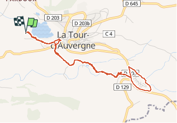


17.7 km | 24 km-effort

User


FREE GPS app for hiking
 SityTrail
IGN / Geographical institutes
SityTrail World
The world is yours!
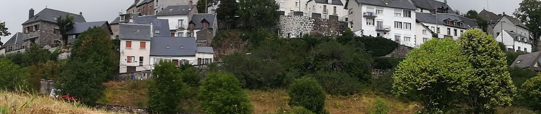
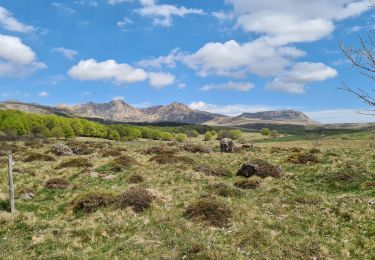
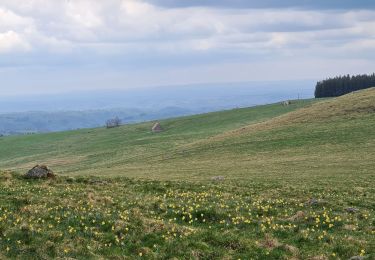
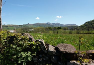
Trail Walking of 5.2 km to be discovered at Auvergne-Rhône-Alpes, Puy-de-Dôme, La Tour-d'Auvergne. This trail is proposed by caroline116.
Cascades Élisabeth et Gour des chevaux.
Départ près de l'aire camping car route communale trait bleu direction du camping la vallée.


Walking

Walking
On foot
On foot
Walking
Walking

Walking
Walking
Walking